UXOMAP specializes in
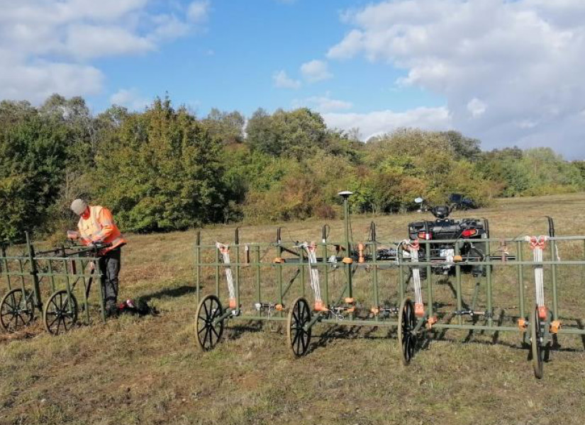
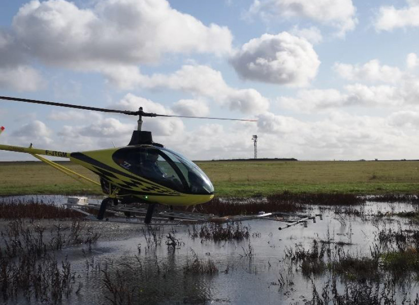
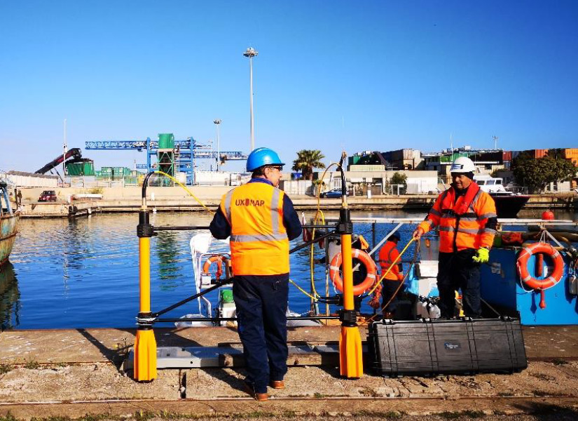
UXOMAP is an innovative and independent company and is composed of experts in physics and geophysics but also qualified and experienced in the implementation of various geophysical data acquisition techniques and tools.
We have 15 years of experience in the domain of locating and isolating suspect UXO’s for our customers in order to advise them and direct them to the best technical and financial solutions for safe execution of planned works.
What to do after a pyrotechnic pollution diagnosis?
Risk
management
Conscious of the necessary quality and efficiency of UXO survey, we make every effort to assist our clients in managing the risk throughout their project.
Georeferenced
results
The results obtained will all be georeferenced with pluricentimetric precision and rendered in compatible format with most of office software (Office suite), DAO (.dwg, .dxf …) or SIG (.shp; .gpkg …).
Georeferenced
results
The results obtained will all be georeferenced with pluricentimetric precision and rendered in compatible format with most of office software (Office suite), DAO (.dwg, .dxf …) or SIG (.shp; .gpkg …).

Reactivity
of intervention
Our organization and our commercial network operates to ensure timely delivery of the quotations, interventions and deadlines.
Treatment
strategy
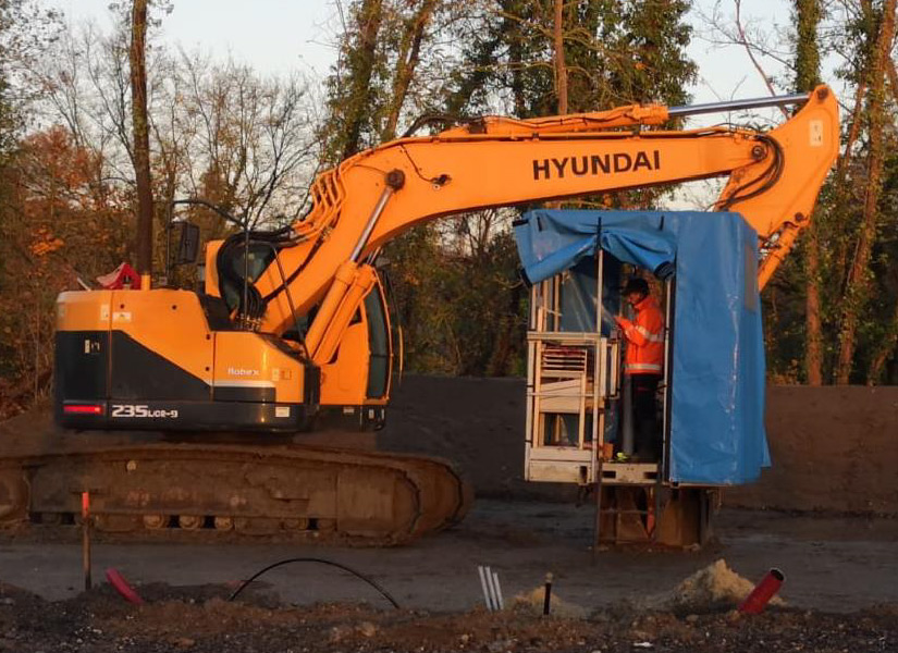
At the end of the survey and data interpretation, if the risk is confirmed, the area must be subjected to a UXO clearance. In this case, UXOMAP can fully manage the process of identification and transfer or clearance in cooperation with specialist partners.
Treatment
strategy
At the end of the survey and data interpretation, if the risk is confirmed, the area must be subjected to a UXO clearance. In this case, UXOMAP can fully manage the process of identification and transfer or clearance in cooperation with specialist partners.

Certifications
As part of its development and continuous improvement, UXOMAP is one of the founding members of UXOGROUP, a European group of companies specializing in several disciplines in the generally adopted industry standards for UXO survey, identification and clearance, operating in 6 European countries (France, Belgium, Italy, The Netherlands, Germany and UK). Thanks to the partnerships developed with land and underwater UXO clearance companies, UXOMAP implements its expertise in permanent.
Our Commitments

Innovation

Expertise

Advice

